Information for food security initiative launched in Uganda
“I have no doubt that EO data processed and provided by DE-Africa will be used to provide climate information to help farmers adapt to climate variability and climate change”.
By Genevieve Apio & Joshua Okonya
A project that primarily uses satellite data to mitigate the direct impacts of climate change on food security has been launched in the Ugandan capital, Kampala.
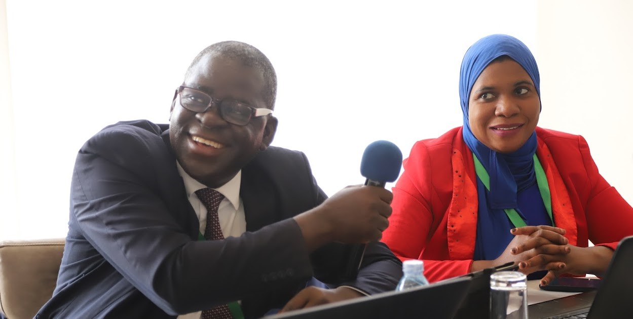
Addressing participants at the official launch of the “Information for Agriculture and Food Security Project” at the Golden Tulip Hotel in Kampala, Uganda, Dr. Abubaker Muhammed from the Department of Cabinet Secretary, Office of the President of Uganda, said Earth observation data and information has the potential to spur Uganda’s Agriculture.
The launch came at the time (November 7, 2023), when Uganda had just launched its International Space Station (ISS), the Pearl Africa Sat-1 Satellite.
“We still have a challenge in the timeliness, cloud storage and quality of data, which makes this project very timely. We need more data collection centres because there is no single entity that can collect all the data that we need,” said Dr. Abubaker Muhammed.
I have no doubt that EO data processed and provided by DE-Africa will be used to provide climate information to help farmers adapt to climate variability and climate change.
Speaking at the event, ASARECA Program Officer in charge of Technology and Innovation, Mr. Joshua Okonya said the cost of not putting in place adaptive measures to climate change are higher than the cost for addressing its negative effects on crops, and livestock.
The “Information for Agriculture and Food Security Project” is funded by the Australian Centre for International Agricultural Research (ACIAR) with funds from the Australian Government. It is implemented in five other countries (Ethiopia, Rwanda, Kenya, Botswana, and South Africa). ASARECA is coordinating the implementation of the project and is supported by the Centre for Coordination of Agricultural Research and Development for Southern Africa (CCARDESA) in Botswana and South Africa.
According to Mr. Okonya, the project seeks to: Provide information to support adaptation to climatic change; demonstrate the utility of DE Africa services and products in support of food and water security; develop a roadmap to support acceleration of the impact of EO services on water and agriculture; empower national governments to make evidence-based policy decisions; and understand capacity gaps in access and use of EO data to allow countries tailor further DE Africa’s Products and services.
Speaking at the launch, Dr. Imelda Khashaija, the National Focal Person for ASARECA in Uganda highlighted ASARECA’s vantage position in performing a higher level convening, coordination, facilitative, advocacy, partnership brokerage, communicative and catalytic role to maximize economies of scale, reduce duplication and misalignment of resources in the sub-region’s Agriculture Research for Development (AR4D).
Addressing participants, the Digital Earth Africa Capacity Lead, Dr. Kenneth Mubea said analysis-ready satellite data, products, services, and tools that DE Africa offers are demand driven. He noted that these services are now available in about 55 countries.

